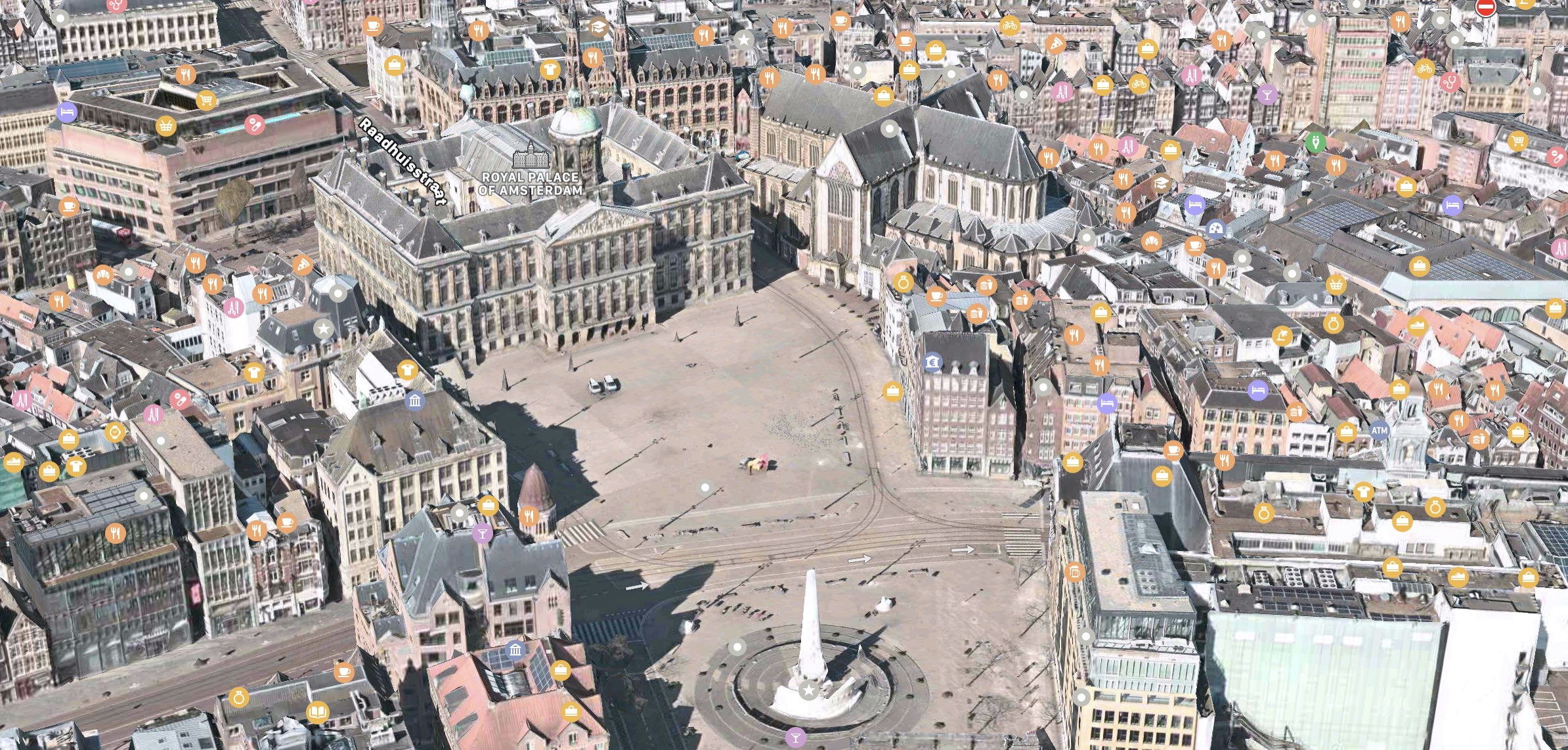
According to iCulture, Apple has added 3D rendering of satelite images to the cities of Amsterdam, Haarlem, Zandvoort, Bloemendaal, Heemstede, Hoofddorp, Zaandam, and Aalsmeer. Previously, only Rotterdam, Eindhoven, and Utrecht were viewable in 3D in the Netherlands. Flyover is not yet available in the new locations.
The expansion also seems to include several surrounding towns and villages such as Lisse, Abcoude, Amersfoort, Soest, Baarn, and Leusden. The images used are reportedly from the spring of this year.

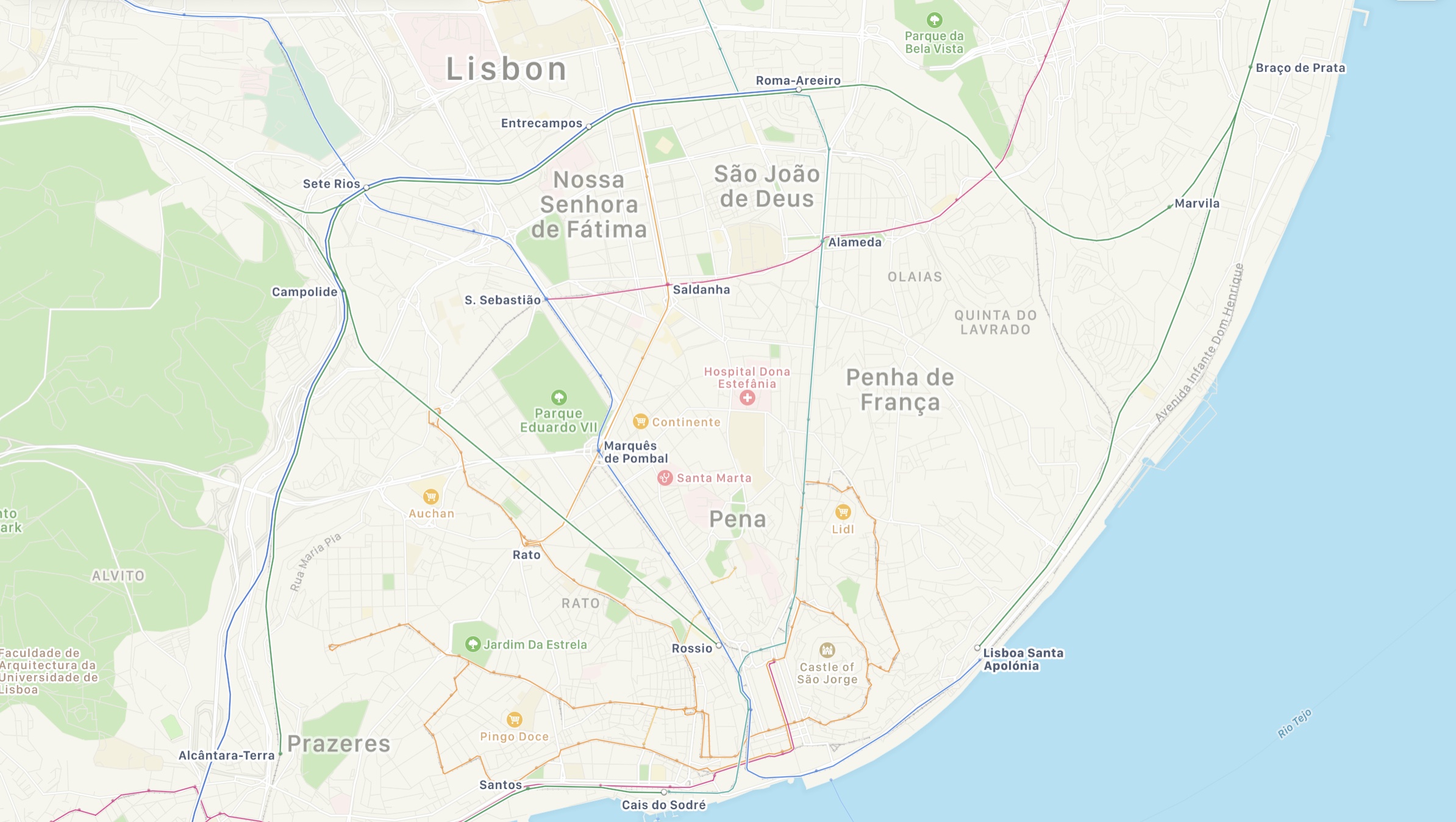
In addition to the updated views in the Netherlands, Apple has also added public transit information for the city of Lisbon in Portugal to Apple Maps, including its surrounding areas. Apple Maps users in the region can now select public transportation routes when getting directions between two locations.
Transit directions were first added to Apple Maps in 2015 with the launch of iOS 9. Maps initially only offered transit information in a handful of cities, but over the course of the last five years, Apple has worked to expand the feature to additional areas.
Transit information is now live in dozens of cities and countries around the world, with a full list available on Apple's iOS and iPadOS Feature Availability website, although it has not yet been updated to include Lisbon.
This article, "Apple Maps Expands Public Transit Information and 3D View in Portugal and the Netherlands" first appeared on MacRumors.com
Discuss this article in our forums
from MacRumors: Mac News and Rumors - All Stories https://ift.tt/2EWfdQR

No comments:
Post a Comment